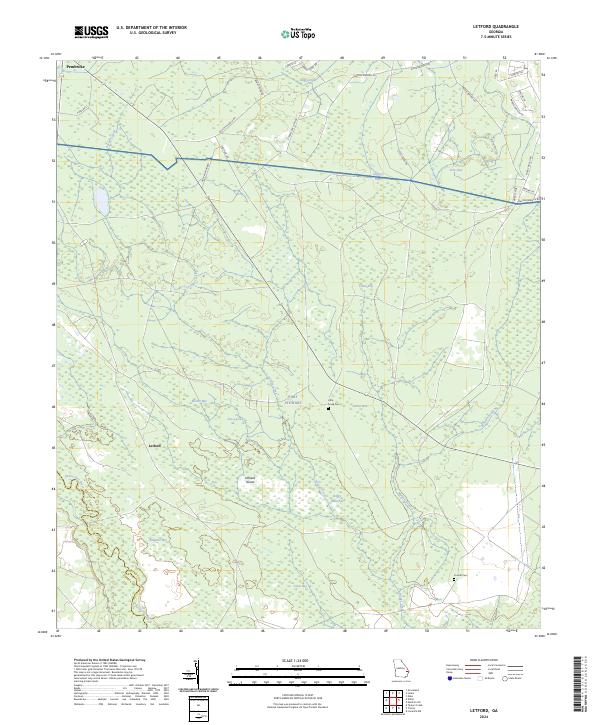
2024 Map of Letford
USGS Topo · Published 2024About this map
Pembroke sits at the northern edge of this coastal Georgia landscape, serving as a primary point of reference in an area defined by the dense wetlands and drainage basins of the Canoochee River. The terrain is characterized by a complex network of bays and island-like rises, including Hilliard Island and Bonnet Bay, which dictate the local hydrology. This 2024 survey documents the southern reaches of the Fort Stewart military reservation, where names like Little Creek Cem and Corinth Cem provide specific points of interest for those tracing family history. The mapping of Meldrim Branch and the Savage Creek corridor shows a territory largely preserved as forest and wetlands, with modern road networks such as the Old Railroad Rd reflecting the historical transportation paths that once moved timber and agricultural goods through this part of Bryan County.
Find a feature on this map
1 named feature on this map. Tap any name to fly to it.
Don’t see what you’re looking for? This feature index may not catch every label — zoom into the map to look around manually.
Map Details
Editions of this 2024 Letford Map
This is the sole edition of this map. No revisions or reprints were ever made.
Other maps of this area

1918 · Hinesville
USGS Topo · 1:62,500

1920 · Pembroke
USGS Topo · 1:62,500

1920 · Meldrim
USGS Topo · 1:62,500

1920 · Limerick
USGS Topo · 1:62,500

1942 · Meldrim
USGS Topo · 1:62,500

1944 · Hinesville
USGS Topo · 1:62,500

1944 · Limerick
USGS Topo · 1:62,500

1946 · Brunswick
USGS Topo · 1:250,000

1947 · Savannah
USGS Topo · 1:250,000

1948 · Brunswick
USGS Topo · 1:250,000