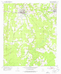
1952 Map of Lewisville
USGS Topo · Published 1977About this map
Lewisville and Stamps serve as the primary hubs in this Lafayette County landscape, where the local economy is defined by a dense concentration of oil wells and an expansive oil field in the eastern hills. The transportation network is remarkably developed for the era, featuring a convergence of the St Louis Southwestern, Kansas City Southern, and a dedicated Mining Railroad serving various gravel pits north of the town center.
Find a feature on this map
26 named features on this map. Tap any name to fly to it.
Don’t see what you’re looking for? This feature index may not catch every label — zoom into the map to look around manually.
Map Details
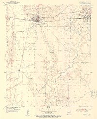
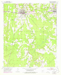
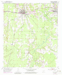
Editions of this 1952 Lewisville Map
5 editions found
Other maps of this area

1952 · Garland
USGS Topo · 1:24,000

1952 · Bradley NE
USGS Topo · 1:24,000

1952 · Old Town
USGS Topo · 1:24,000

1952 · Canfield
USGS Topo · 1:24,000

1952 · Lewisville
USGS Topo · 1:24,000

1952 · Boyd Hill
USGS Topo · 1:24,000

1953 · El Dorado
USGS Topo · 1:250,000

1957 · El Dorado
USGS Topo · 1:250,000

1958 · El Dorado
USGS Topo · 1:250,000

1960 · El Dorado
USGS Topo · 1:250,000