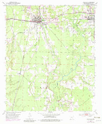
1952 Map of Lewisville
USGS Topo · Published 1983About this map
The St Louis Southwestern railroad corridor anchors this mid-century portrait of Lafayette County, serving as the industrial spine for Lewisville and Stamps. While the towns serve as regional hubs, the landscape reveals a heavy reliance on natural resource extraction, evidenced by the numerous Gravel Pits and clusters of Oil Wells dotting the countryside. To the south, the terrain rises into Mars Hill, where the Mars Hill Cem and Bethel Ch indicate established rural communities away from the main rail lines.
Find a feature on this map
32 named features on this map. Tap any name to fly to it.
Don’t see what you’re looking for? This feature index may not catch every label — zoom into the map to look around manually.
Map Details
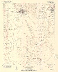
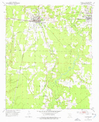
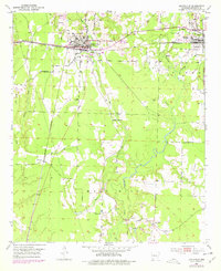
Editions of this 1952 Lewisville Map
5 editions found
Other maps of this area

1952 · Garland
USGS Topo · 1:24,000

1952 · Bradley NE
USGS Topo · 1:24,000

1952 · Old Town
USGS Topo · 1:24,000

1952 · Canfield
USGS Topo · 1:24,000

1952 · Lewisville
USGS Topo · 1:24,000

1952 · Boyd Hill
USGS Topo · 1:24,000

1953 · El Dorado
USGS Topo · 1:250,000

1957 · El Dorado
USGS Topo · 1:250,000

1958 · El Dorado
USGS Topo · 1:250,000

1960 · El Dorado
USGS Topo · 1:250,000