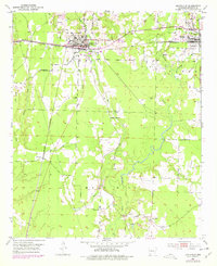
1952 Map of Lewisville
USGS Topo · Published 1978About this map
Lewisville serves as the focal point of this Lafayette County landscape, where the St Louis Southwestern railroad connects the seat to Stamps and Tatum. The map documents a rural economy transitioning from agriculture to industrial resource extraction, evidenced by numerous Oil Wells and Gravel Pits scattered near the rail lines. To the south, the terrain becomes more defined by the drainage systems of Bodcau Creek and Steel Creek, which flow through the prominent rise of Marsh Hill. This area is dotted with small rural hubs such as Mars Hill, featuring the Mars Hill Cem and Bethel Ch, alongside older community centers like Kress City. The presence of Harrison Airfield north of Lewisville reflects mid-century infrastructure growth alongside traditional timber and water-bound features like Battle Creek and Field Bayou.
Find a feature on this map
25 named features on this map. Tap any name to fly to it.
Don’t see what you’re looking for? This feature index may not catch every label — zoom into the map to look around manually.
Map Details
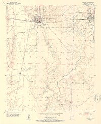
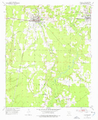
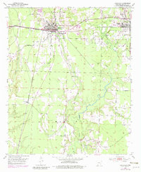
Editions of this 1952 Lewisville Map
5 editions found
Other maps of this area

1952 · Garland
USGS Topo · 1:24,000

1952 · Bradley NE
USGS Topo · 1:24,000

1952 · Old Town
USGS Topo · 1:24,000

1952 · Canfield
USGS Topo · 1:24,000

1952 · Lewisville
USGS Topo · 1:24,000

1952 · Boyd Hill
USGS Topo · 1:24,000

1953 · El Dorado
USGS Topo · 1:250,000

1957 · El Dorado
USGS Topo · 1:250,000

1958 · El Dorado
USGS Topo · 1:250,000

1960 · El Dorado
USGS Topo · 1:250,000