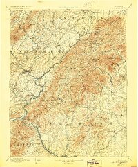
1894 Map of Lexington
USGS Topo · Published 1929About this map
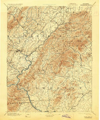
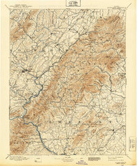
Lexington and Buena Vista serve as the primary hubs in this late 19th-century survey of the Virginia highlands, where the James River carves through the Blue Ridge. The geography is defined by a reliance on river crossings and nascent rail lines, including the Shenandoah Valley R.R. and the Balto. & Ohio R.R.. Local industry and early commerce are evident through labels such as Buffalo Forge and Chalk Mine Mt., while the transition from river to rail is captured at Echols Ferry (Glasgow) and Rope Ferry (Snowden P.O.). The map documents numerous mountain gaps and peaks, including Petites Gap and Whites Gap, which dictated the path of early roads and settlements like Rockbridge Baths and Spottswood. This record preserves a landscape of small post offices and mountain churches, such as Cornerstone Ch., before the consolidation of rural communities.
Find a feature on this map
166 named features on this map. Tap any name to fly to it.
Don’t see what you’re looking for? This feature index may not catch every label — zoom into the map to look around manually.
Map Details
Editions of this 1894 Lexington Map
7 editions found
Other maps of this area

1890 · Roanoke
USGS Topo · 1:125,000

1891 · Roanoke
USGS Topo · 1:125,000

1892 · Lynchburg
USGS Topo · 1:125,000

1892 · Buckingham
USGS Topo · 1:125,000

1892 · Appomattox
USGS Topo · 1:125,000

1892 · Harrisonburg
USGS Topo · 1:125,000

1894 · Staunton
USGS Topo · 1:125,000

1894 · Natural Bridge
USGS Topo · 1:125,000

1894 · Lexington
USGS Topo · 1:125,000

1894 · Natural Bridge
USGS Topo · 1:62,500