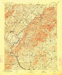
1894 Map of Lexington
USGS Topo · Published 1914About this map
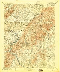
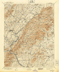
The James River carves a deep path through this Central Virginia landscape, serving as a primary corridor for 19th-century transport and industry. The topography is dominated by parallel ridges like Little North Mtn. and Tobacco Row Mtn., which dictated the placement of early settlements and rail lines. Notable river crossings such as Echols Ferry (Glasgow) Balcony Falls and Rope Ferry (Snowden P.O.) illustrate the importance of water-bound commerce before the full dominance of the railroads.
Find a feature on this map
209 named features on this map. Tap any name to fly to it.
Don’t see what you’re looking for? This feature index may not catch every label — zoom into the map to look around manually.
Map Details
Editions of this 1894 Lexington Map
7 editions found
Other maps of this area

1890 · Roanoke
USGS Topo · 1:125,000

1891 · Roanoke
USGS Topo · 1:125,000

1892 · Lynchburg
USGS Topo · 1:125,000

1892 · Buckingham
USGS Topo · 1:125,000

1892 · Appomattox
USGS Topo · 1:125,000

1892 · Harrisonburg
USGS Topo · 1:125,000

1894 · Staunton
USGS Topo · 1:125,000

1894 · Natural Bridge
USGS Topo · 1:125,000

1894 · Lexington
USGS Topo · 1:125,000

1894 · Natural Bridge
USGS Topo · 1:62,500