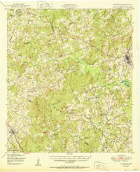
1950 Map of Lexington
USGS Topo · Published 1950About this map
Lexington serves as the primary rail hub on this 1950 survey, positioned along the Southern Pacific line where it crosses the eastern reaches of Lee County. The landscape is defined by the complex drainage system of Middle Yegua Creek and its many tributaries, including Sandy Creek and Brushy Creek. To the west, the distinctive topography of The Knobs and Yegua Knobs rises near the Bastrop County line, providing a natural backdrop for a series of scattered rural settlements and family-named landmarks.
Find a feature on this map
83 named features on this map. Tap any name to fly to it.
Don’t see what you’re looking for? This feature index may not catch every label — zoom into the map to look around manually.
Map Details
Editions of this 1950 Lexington Map
This is the sole edition of this map. No revisions or reprints were ever made.
Other maps of this area

1885 · Taylor
USGS Topo · 1:125,000
1885 · Bastrop
USGS Topo · 1:125,000

1887 · Taylor
USGS Topo · 1:125,000
1893 · Bastrop
USGS Topo · 1:125,000

1894 · Taylor
USGS Topo · 1:125,000
1904 · Bastrop
USGS Topo · 1:125,000
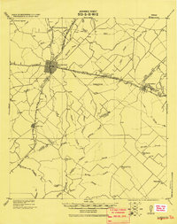
1919 · Giddings
USGS Topo · 1:62,500
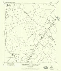
1919 · Dime Box
USGS Topo · 1:62,500
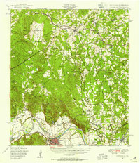
1948 · Smithville
USGS Topo · 1:62,500
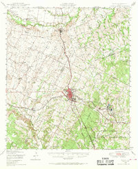
1948 · Elgin
USGS Topo · 1:62,500