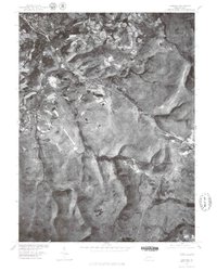
1977 Map of Ligonier
USGS Topo · Published 1979About this map
Loyalhanna Creek flows through a landscape defined by the transition from the valley floor to the high ridges of Westmoreland County during the late 1970s. This orthophotoquad captures the precise footprint of regional settlements like Laughlintown and the spread of Laurel Mountain Village against the wooded slopes. The imagery reveals the relationship between traditional centers like Ligonier and the rural junctions at Thomas Crossroads.
Find a feature on this map
7 named features on this map. Tap any name to fly to it.
Don’t see what you’re looking for? This feature index may not catch every label — zoom into the map to look around manually.
Map Details
Editions of this 1977 Ligonier Map
This is the sole edition of this map. No revisions or reprints were ever made.
Other maps of this area

1900 · Latrobe
USGS Topo · 1:62,500

1902 · Latrobe
USGS Topo · 1:62,500

1903 · Latrobe
USGS Topo · 1:62,500

1913 · Somerset
USGS Topo · 1:62,500

1915 · Somerset
USGS Topo · 1:62,500

1920 · New Florence
USGS Topo · 1:62,500

1921 · New Florence
USGS Topo · 1:48,000

1922 · Donegal
USGS Topo · 1:62,500

1922 · New Florence
USGS Topo · 1:62,500

1935 · Donegal
USGS Topo · 1:62,500