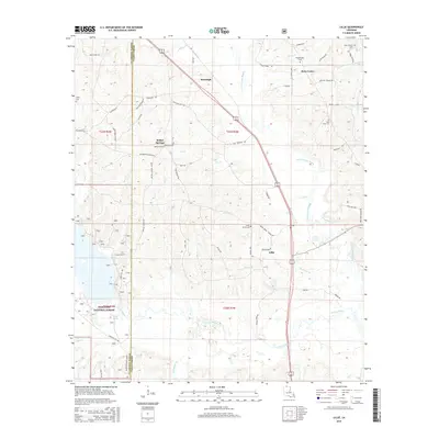
2015 Map of Lillie
USGS Topo · Published 2015About this map
Lillie and the surrounding piney woods of northern Louisiana are captured here in a modern survey that highlights the deep-rooted rural infrastructure of the borderlands. The landscape is defined by the drainage systems of Corney Bayou and Little Corney Bayou, which cut through the timberlands and sections of the Kisatchie National Forest. A high density of cemeteries, including Pilgrims Rest Cem and Hard Shell Cem, serves as a primary marker of the family-based history in this region. This survey clarifies the transition between the small settlements of Randolph, Bethel Springs, and Rum Center, connected by a network of named country roads and parish lines. The area's legacy of independent farming and early church communities is evidenced by the proximity of Bethel Cem and Union Grove Cem to historic homestead sites.
Find a feature on this map
75 named features on this map. Tap any name to fly to it.
Don’t see what you’re looking for? This feature index may not catch every label — zoom into the map to look around manually.
Map Details
Editions of this 2015 Lillie Map
This is the sole edition of this map. No revisions or reprints were ever made.
Other maps of this area

1927 · El Dorado
USGS Topo · 1:62,500

1930 · El Dorado
USGS Topo · 1:62,500

1951 · Summerfield
USGS Topo · 1:62,500

1951 · Bernice
USGS Topo · 1:62,500

1951 · El Dorado
USGS Topo · 1:62,500

1953 · El Dorado
USGS Topo · 1:250,000

1955 · Shreveport
USGS Topo · 1:250,000

1956 · Shreveport
USGS Topo · 1:250,000

1957 · El Dorado
USGS Topo · 1:250,000

1958 · El Dorado
USGS Topo · 1:250,000