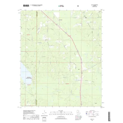
2018 Map of Lillie
USGS Topo · Published 2018About this map
The community of Lillie serves as a central point in this northern Louisiana landscape, where the agricultural and timbered lands of Union Parish and Claiborne Parish meet. The terrain is defined by a dense network of waterways, including the winding Corney Bayou and its numerous tributaries such as Little Corney Bayou and Beaver Cr. In the southwestern corner, the boundary of the Kisatchie National Forest encloses a significant portion of the woodland, while Kidd Lake provides a distinct local landmark.
Find a feature on this map
80 named features on this map. Tap any name to fly to it.
Don’t see what you’re looking for? This feature index may not catch every label — zoom into the map to look around manually.
Map Details
Editions of this 2018 Lillie Map
This is the sole edition of this map. No revisions or reprints were ever made.
Other maps of this area

1927 · El Dorado
USGS Topo · 1:62,500

1930 · El Dorado
USGS Topo · 1:62,500

1951 · Summerfield
USGS Topo · 1:62,500

1951 · Bernice
USGS Topo · 1:62,500

1951 · El Dorado
USGS Topo · 1:62,500

1953 · El Dorado
USGS Topo · 1:250,000

1955 · Shreveport
USGS Topo · 1:250,000

1956 · Shreveport
USGS Topo · 1:250,000

1957 · El Dorado
USGS Topo · 1:250,000

1958 · El Dorado
USGS Topo · 1:250,000