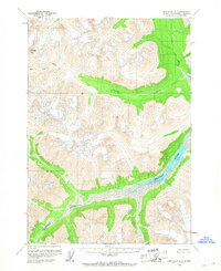
1958 Map of Lime Hills A-1
USGS Topo · Published 1967About this map
Merrill Pass provides a crucial high-altitude crossing point through this glaciated Alaskan landscape, as documented by topographic data from the mid-1950s. The region is defined by a complex network of glacial meltwater systems, with the wide, braided channels of the Neacola River flowing through the southern valleys and the Igitna River carving through the northern reaches. Geologic landmarks such as Goldpan Peak and the sharp protrusion of The Tusk stand as permanent navigational markers for those traversing the wilderness. Evidence of active glacial movement is clearly noted with labels for several Crevasses near the southeastern snowfields. This survey captures a remote wilderness without established roads or trails, where the land is shaped entirely by the Merrill River and its curiously named neighbor, Another River.
Find a feature on this map
8 named features on this map. Tap any name to fly to it.
Don’t see what you’re looking for? This feature index may not catch every label — zoom into the map to look around manually.
Map Details
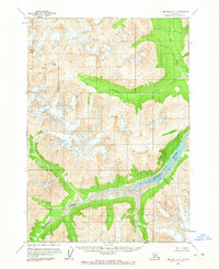
Editions of this 1958 Lime Hills A-1 Map
2 editions found
Other maps of this area

1944 · Kenai
USGS Topo · 1:250,000

1946 · Lake Clark
USGS Topo · 1:250,000

1949 · Tyonek
USGS Topo · 1:250,000

1950 · Kenai
USGS Topo · 1:250,000

1951 · Lake Clark
USGS Topo · 1:250,000

1951 · Tyonek
USGS Topo · 1:250,000

1951 · Lime Hills
USGS Topo · 1:250,000

1958 · Tyonek B-8
USGS Topo · 1:63,360

1958 · Kenai D-8
USGS Topo · 1:63,360

1958 · Tyonek
USGS Topo · 1:250,000