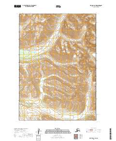
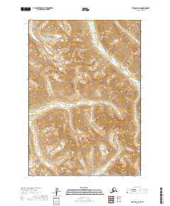
2019 Map of Lime Hills A-4 NE
USGS Topo · Published 2019About this map
Tunkaleshna Cr flows through this undeveloped portion of the Bethel Census Area, reflecting the high-elevation wilderness of the Alaska interior. The landscape is defined by dramatic contour intervals and drainage patterns, with Rock Cr cutting through the northern reaches of the quadrangle. As a 2019 survey, this document records the topography of the Kuskokwim Mountains region with precision, illustrating a vast expanse of roadless territory where water bodies provide the primary named landmarks. The grid of the Public Land Survey System, including t13n r28w and t12n r28w, provides the only human-imposed structure over a terrain shaped by natural erosion and glacial history.
Find a feature on this map
6 named features on this map. Tap any name to fly to it.
Don’t see what you’re looking for? This feature index may not catch every label — zoom into the map to look around manually.
Map Details
Editions of this 2019 Lime Hills A-4 NE Map
This is the sole edition of this map. No revisions or reprints were ever made.
Other maps of this area

1951 · Lime Hills
USGS Topo · 1:250,000

1954 · Lime Hills A-3
USGS Topo · 1:63,360

1954 · Lime Hills B-4
USGS Topo · 1:63,360

1954 · Lime Hills A-4
USGS Topo · 1:63,360

1954 · Lime Hills B-3
USGS Topo · 1:63,360

1958 · Lime Hills
USGS Topo · 1:250,000
2019 · Lime Hills A-3 SW
USGS Topo · 1:25,000
2019 · Lime Hills A-3 NW
USGS Topo · 1:25,000
2019 · Lime Hills B-3 SW
USGS Topo · 1:25,000
2019 · Lime Hills B-4 SE
USGS Topo · 1:25,000