
1958 Map of Lime Hills
USGS Topo · Published 1968About this map
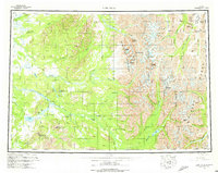
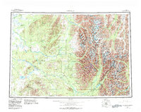
Lime Village sits at the heart of this interior landscape, positioned along the banks of the Stony River where it winds through the foothills of the Alaska Range. The region's isolation is punctuated by the Sparrevohn Air Force Station and the Whitefish Mountain Mine, reflecting the strategic and extractive interests of the mid-20th century. Glacial activity is evident in the Stony Glacier and the numerous named lakes like Tundra Lake and Salmon Berry Lake. High altitude passes such as Merrill Pass and Sled Pass offer the only logical routes through the daunting terrain of the Terra Cotta Mountains and the Teocalli Mountains. The drainage patterns are defined by the Swift River and the Kuskokwim River South Fork, which carve through a wilderness of named peaks including Mount Mausolus and Twin Sisters Peak.
Find a feature on this map
76 named features on this map. Tap any name to fly to it.
Don’t see what you’re looking for? This feature index may not catch every label — zoom into the map to look around manually.
Map Details
Editions of this 1958 Lime Hills Map
3 editions found
Other maps of this area

1944 · Kenai
USGS Topo · 1:250,000

1946 · Lake Clark
USGS Topo · 1:250,000

1949 · Tyonek
USGS Topo · 1:250,000

1949 · McGrath
USGS Topo · 1:250,000

1950 · Kenai
USGS Topo · 1:250,000

1950 · Sleetmute
USGS Topo · 1:250,000

1950 · McGrath
USGS Topo · 1:250,000

1950 · Talkeetna
USGS Topo · 1:250,000

1950 · Taylor Mountains
USGS Topo · 1:250,000

1951 · Talkeetna
USGS Topo · 1:250,000