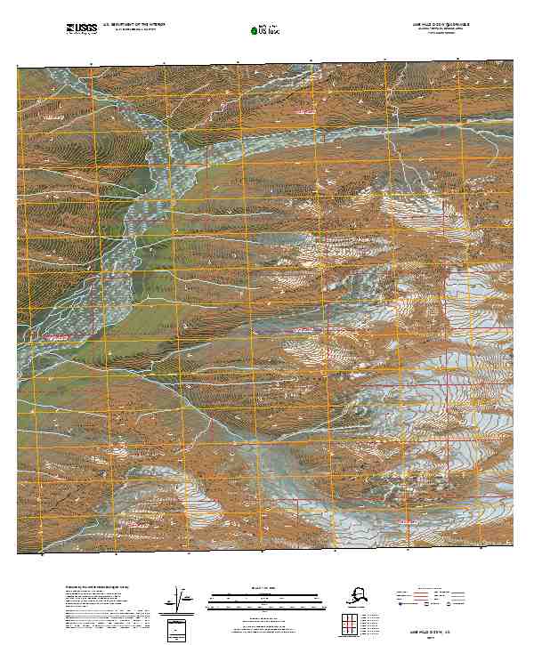
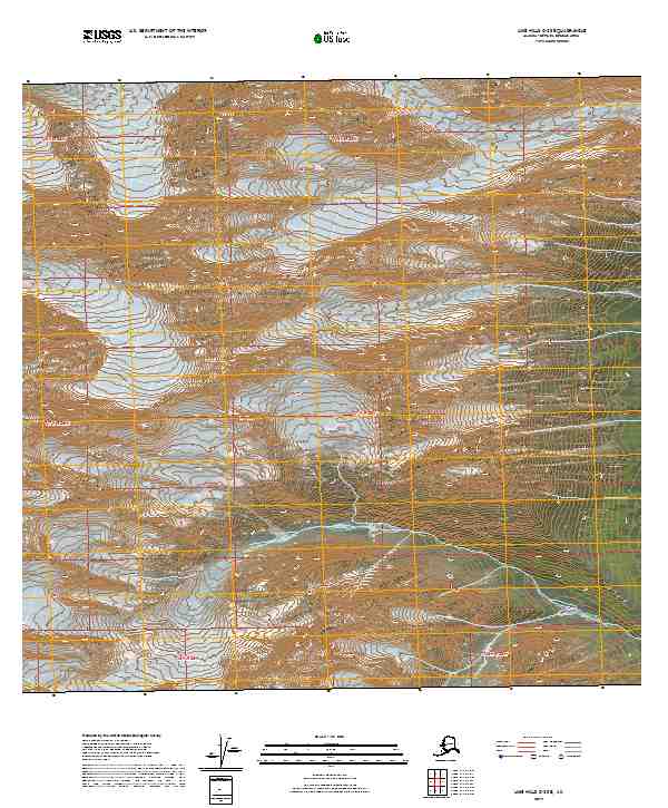
2019 Map of Lime Hills C-3 SW
USGS Topo · Published 2019About this map
Clear Creek and its many tributaries, including West Fork Clear Creek, South Fork Clear Creek, and Tenmile Creek, dominate this mountainous region of Siskiyou County. The landscape is defined by numerous summits such as Preston Peak, Bear Mountain, Broken Back Mt, and Red Butte. For those interested in local history or backcountry landmarks, the Clear Creek guard station serves as a key point of reference near the center of the survey. High-altitude features like the Devils Punchbowl and Raspberry Lake are positioned among the ridges of Big Ridge and Youngs Peak. The map illustrates the drainage patterns and topographic elevations of the era, capturing the wilderness of the Klamath National Forest. It also identifies Baldy Peak, Little Baldy Peak, and Twin Peaks, showing the geographical complexity of the Siskiyou range.
Find a feature on this map
7 named features on this map. Tap any name to fly to it.
Don’t see what you’re looking for? This feature index may not catch every label — zoom into the map to look around manually.
Map Details
Editions of this 2019 Lime Hills C-3 SW Map
This is the sole edition of this map. No revisions or reprints were ever made.
Other maps of this area

1951 · Lime Hills
USGS Topo · 1:250,000

1954 · Lime Hills B-4
USGS Topo · 1:63,360

1954 · Lime Hills B-3
USGS Topo · 1:63,360

1958 · Lime Hills C-3
USGS Topo · 1:63,360

1958 · Lime Hills C-4
USGS Topo · 1:63,360

1958 · Lime Hills
USGS Topo · 1:250,000
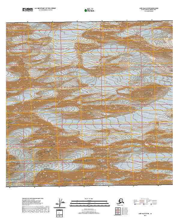
2019 · Lime Hills C-3 NE
USGS Topo · 1:25,000
2019 · Lime Hills B-3 NW
USGS Topo · 1:25,000
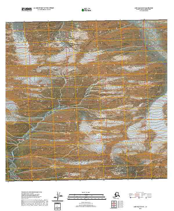
2019 · Lime Hills C-3 NW
USGS Topo · 1:25,000
2019 · Lime Hills C-3 SE
USGS Topo · 1:25,000