1956 Map of Limestone
USGS Topo · Published 1977About this map
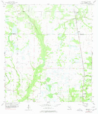
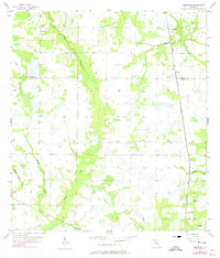
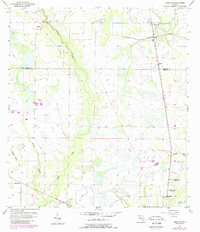
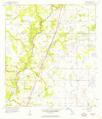
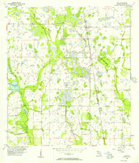
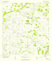
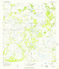
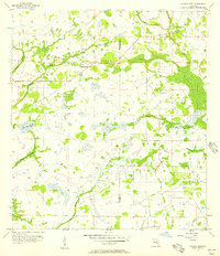
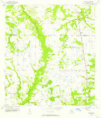
Horse Creek carves a broad valley through the center of this rural landscape, defining the transition between Lily and Limestone. This mid-century survey illustrates the rural character of the Hardee Co De Soto Co border region, where small agricultural settlements like Kinsey and Pine Level are linked by the Seaboard Air Line railroad. The map provides a detailed look at the social fabric of these remote Florida communities, marking local landmarks such as Lily Ch and Oak Hill Ch. Of particular interest to local historians is the Oak Hill Sch (Abandoned) located near Lansing, which serves as a quiet marker of shifting demographics in the post-war era. The drainage pattern is dominated by numerous small wetlands and creek branches, including Brandy Branch and Buzzard Roost Br, which feed eventually into the Peace R at the southern edge of the quadrangle.
Find a feature on this map
15 named features on this map. Tap any name to fly to it.
Don’t see what you’re looking for? This feature index may not catch every label — zoom into the map to look around manually.
Map Details
Editions of this 1956 Limestone Map
4 editions found
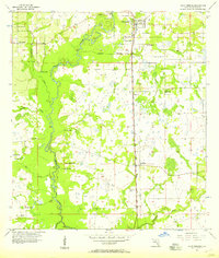
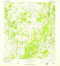
Other maps of this area
1956 · Gardner
USGS Topo · 1:24,000
1956 · Ona
USGS Topo · 1:24,000
1956 · Edgeville
USGS Topo · 1:24,000
1956 · Murdock NE
USGS Topo · 1:24,000
1956 · Myakka Head
USGS Topo · 1:24,000
1956 · Limestone
USGS Topo · 1:24,000
1956 · Zolfo Springs
USGS Topo · 1:24,000
1956 · Nocatee
USGS Topo · 1:24,000

1956 · Tampa
USGS Topo · 1:250,000

1956 · Fort Pierce
USGS Topo · 1:250,000