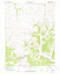
1961 Map of Lincoln
USGS Topo · Published 1973About this map
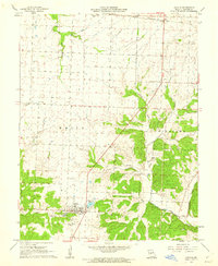
The town of Lincoln anchors this 1961 survey, showing a concentrated rural community surrounded by family cemeteries and churches. To the north, the Chicago Rock Island And Pacific railroad traverses the landscape near Ionia, while an Old Railroad Grade further south indicates shifting transportation patterns in the mid-20th century. The terrain is defined by the drainages of South Flat Creek and Cole Camp Creek, with numerous small water bodies such as Timber Line Lake scattered throughout the valleys. Local landmarks like Zion Ch and Immanuel Ch provide important geographic markers for genealogists tracing ancestral roots in White and Williams townships. This map captures the transition from traditional agrarian life to modern infrastructure, evidenced by the presence of a Radio Tower and Sewage facilities near the township boundaries.
Find a feature on this map
27 named features on this map. Tap any name to fly to it.
Don’t see what you’re looking for? This feature index may not catch every label — zoom into the map to look around manually.
Map Details
Editions of this 1961 Lincoln Map
2 editions found
Other maps of this area

1887 · Sedalia
USGS Topo · 1:125,000

1887 · Warsaw
USGS Topo · 1:125,000

1894 · Warsaw
USGS Topo · 1:125,000

1894 · Sedalia
USGS Topo · 1:125,000

1936 · Shawnee Bend
USGS Topo · 1:24,000

1936 · Lakeview Heights
USGS Topo · 1:24,000

1936 · Schuyler
USGS Topo · 1:24,000

1947 · Jefferson City
USGS Topo · 1:250,000
1948 · Green Ridge
USGS Topo · 1:62,500

1954 · Jefferson City
USGS Topo · 1:250,000