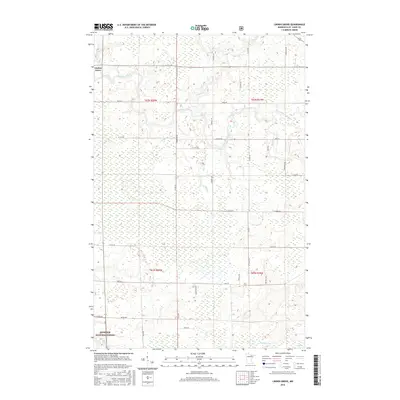
2016 Map of Linden Grove
USGS Topo · Published 2016About this map
Linden Grove anchors the northwest corner of this Northwoods landscape, where the Little Fork River meanders through dense wetlands and timber. The river's course is punctuated by the Durant Rapids, indicating the transition of the water as it moves through the Saint Louis County wilderness. This 2016 survey illustrates the extensive road network that services the region's logging and rural residential needs, including Carpenter Rd, Alango Rd, and Wein Rd.
Find a feature on this map
40 named features on this map. Tap any name to fly to it.
Don’t see what you’re looking for? This feature index may not catch every label — zoom into the map to look around manually.
Map Details
Editions of this 2016 Linden Grove Map
This is the sole edition of this map. No revisions or reprints were ever made.
Other maps of this area

1952 · Idington
USGS Topo · 1:24,000

1954 · Hibbing
USGS Topo · 1:250,000

1955 · Dark Lake
USGS Topo · 1:24,000

1955 · Dewey Lake NW
USGS Topo · 1:24,000

1957 · Hibbing
USGS Topo · 1:250,000

1958 · Hibbing
USGS Topo · 1:250,000

1964 · Hibbing
USGS Topo · 1:250,000

1964 · Linden Grove
USGS Topo · 1:24,000

1964 · Haley
USGS Topo · 1:24,000

1964 · Gheen NW
USGS Topo · 1:24,000