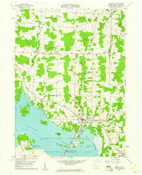
1959 Map of Linesville
USGS Topo · Published 1961About this map
Pymatuning Reservoir dominates the southwestern landscape of this Crawford County region, where the Shenango River was impounded to create an extensive water body punctuated by landforms like Clark Island, Harris Island, and Whaley Island. The borough of Linesville serves as the local hub, established near the State Fish Hatchery and the Pennsylvania railroad line. To the north, the terrain transitions into the rural townships of Conneaut and Summerhill, where small settlements such as Steamburg and Conneaut Center are connected by a network of local roads and creek drainages including Paden Creek and Linesville Creek.
Find a feature on this map
39 named features on this map. Tap any name to fly to it.
Don’t see what you’re looking for? This feature index may not catch every label — zoom into the map to look around manually.
Map Details
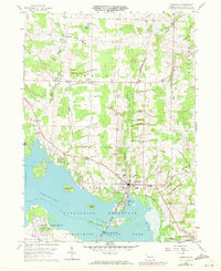
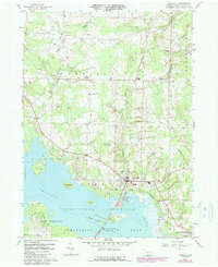
Editions of this 1959 Linesville Map
Other maps of this area

1900 · Girard
USGS Topo · 1:62,500

1905 · Andover
USGS Topo · 1:48,000

1906 · Conneaut
USGS Topo · 1:62,500

1906 · Linesville
USGS Topo · 1:62,500

1907 · Andover
USGS Topo · 1:62,500

1908 · Linesville
USGS Topo · 1:62,500

1950 · Cleveland
USGS Topo · 1:250,000

1956 · Cleveland
USGS Topo · 1:250,000

1959 · Conneautville
USGS Topo · 1:24,000

1959 · Hartstown
USGS Topo · 1:24,000
Featured Places
- Linesville, PA
- Summerhill Township, PA
- Pymatuning Central, PA
- Pine Township, PA
- Tuttle Lake, Pymatuning Central