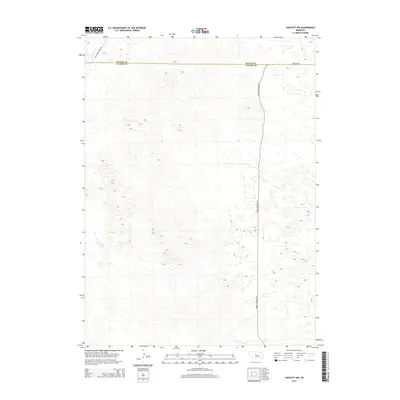
2014 Map of Linscott NW
USGS Topo · Published 2014About this map
Wild Horse Cr meanders through the northwest corner of this Nebraska landscape, where the administrative boundary of Blaine Co and Custer Co divides the rolling terrain. The area is defined by a sparse but essential road network, reflecting the remote ranching and energy infrastructure of the central Sandhills region. North-to-south movement is dominated by the corridor of Arnold Dunning Oil, while Wild Horse Creek Rd and Arnold Rd provide access across the county line. The map captures a moment in the early 21st century when these rural routes served as the primary links between isolated homesteads and the larger regional hubs of Custer and Blaine counties.
Find a feature on this map
5 named features on this map. Tap any name to fly to it.
Don’t see what you’re looking for? This feature index may not catch every label — zoom into the map to look around manually.
Map Details
Editions of this 2014 Linscott NW Map
This is the sole edition of this map. No revisions or reprints were ever made.
Other maps of this area

1948 · Linscott
USGS Topo · 1:62,500

1948 · Halsey
USGS Topo · 1:62,500

1950 · Linscott
USGS Topo · 1:62,500

1950 · Halsey
USGS Topo · 1:62,500

1951 · Dunning
USGS Topo · 1:62,500

1951 · Hoagland
USGS Topo · 1:62,500

1954 · North Platte
USGS Topo · 1:250,000

1956 · North Platte
USGS Topo · 1:250,000

1957 · North Platte
USGS Topo · 1:250,000

1967 · North Platte
USGS Topo · 1:250,000