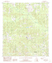
1986 Map of Lisbon
USGS Topo · Published 1986About this map
The settlement of Lisbon serves as a focal point for this rural Claiborne Parish survey, situated among the complex drainage network of northern Louisiana. The landscape is defined by the winding course of the Middle Fork Bayou D'Arbonne and its numerous tributaries, including Fivemile Creek and Sandy Creek. These waterways dictate the local geography, with small clusters of development like Sharon and several unmarked Cem sites distributed along the ridges between the creek bottoms.
Find a feature on this map
19 named features on this map. Tap any name to fly to it.
Don’t see what you’re looking for? This feature index may not catch every label — zoom into the map to look around manually.
Map Details
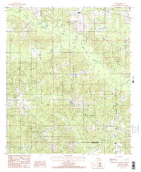
Editions of this 1986 Lisbon Map
2 editions found
Other maps of this area

1950 · Ruston
USGS Topo · 1:62,500

1950 · Arcadia
USGS Topo · 1:62,500

1951 · Arcadia
USGS Topo · 1:62,500

1951 · Ruston
USGS Topo · 1:62,500

1951 · Summerfield
USGS Topo · 1:62,500

1951 · Bernice
USGS Topo · 1:62,500

1955 · Shreveport
USGS Topo · 1:250,000

1956 · Shreveport
USGS Topo · 1:250,000

1984 · Shreveport
USGS Topo · 1:250,000

1985 · Monroe North
USGS Topo · 1:100,000