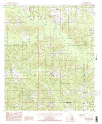
1986 Map of Lisbon
USGS Topo · Published 1986About this map
The community of Lisbon serves as a primary reference point in this corner of North Louisiana, where the landscape is defined by the winding course of Middle Fork Bayou D'Arbonne. This mid-1980s data illustrates a rural environment shaped by numerous watercourses, including Sandy Creek, Bear Creek, and Fluemile Creek, which dissect the terrain into a network of ridges and bottoms. To the south, the village of Sharon sits near the Claiborne Parish Lincoln Parish line, marking a pocket of settlement away from the main thoroughfares.
Find a feature on this map
20 named features on this map. Tap any name to fly to it.
Don’t see what you’re looking for? This feature index may not catch every label — zoom into the map to look around manually.
Map Details
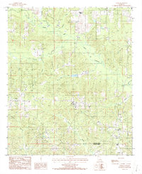
Editions of this 1986 Lisbon Map
2 editions found
Other maps of this area

1950 · Ruston
USGS Topo · 1:62,500

1950 · Arcadia
USGS Topo · 1:62,500

1951 · Arcadia
USGS Topo · 1:62,500

1951 · Ruston
USGS Topo · 1:62,500

1951 · Summerfield
USGS Topo · 1:62,500

1951 · Bernice
USGS Topo · 1:62,500

1955 · Shreveport
USGS Topo · 1:250,000

1956 · Shreveport
USGS Topo · 1:250,000

1984 · Shreveport
USGS Topo · 1:250,000

1985 · Monroe North
USGS Topo · 1:100,000