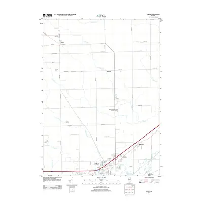
2012 Map of Lisbon
USGS Topo · Published 2012About this map
Lisbon serves as a primary settlement anchor in this part of Illinois, situated near the headwaters of Valley Run and Saratoga Cr. The landscape is defined by a dense network of country roads like Whitewillow Rd and Joliet Rd that connect rural clusters and family-named landmarks. Several established burial grounds, including Munger Cem, Lisbon Cem, and Saratoga Cem, provide essential data points for genealogical research across the township.
Find a feature on this map
66 named features on this map. Tap any name to fly to it.
Don’t see what you’re looking for? This feature index may not catch every label — zoom into the map to look around manually.
Map Details
Editions of this 2012 Lisbon Map
This is the sole edition of this map. No revisions or reprints were ever made.
Other maps of this area

1892 · Morris
USGS Topo · 1:62,500

1892 · Marseilles
USGS Topo · 1:62,500

1916 · Marseilles
USGS Topo · 1:62,500

1918 · Morris
USGS Topo · 1:62,500

1925 · Yorkville
USGS Topo · 1:62,500

1940 · Marseilles
USGS Topo · 1:62,500

1948 · Sandwich
USGS Topo · 1:62,500

1950 · Sandwich
USGS Topo · 1:62,500

1953 · Morris
USGS Topo · 1:24,000

1953 · Plattville
USGS Topo · 1:24,000