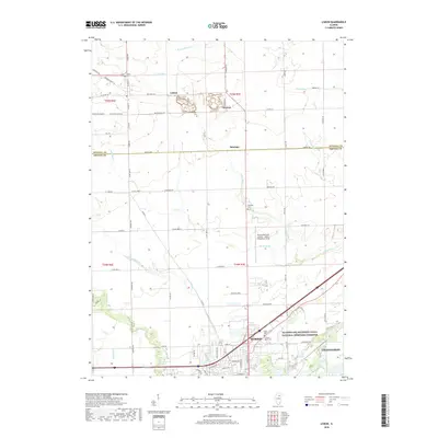
2018 Map of Lisbon
USGS Topo · Published 2018About this map
Morris and its northern outskirts are the primary focus of this Illinois landscape, which straddles the boundary between Kendall and Grundy counties. The terrain is defined by a dense network of watercourses, including W Aux Sable Cr, Valley Run, and Saratoga Cr, which drain the agricultural land surrounding the settlements of Lisbon, Central, and Saratoga. The southern portion of the sheet reveals the industrial and transportation heritage of the region, anchored by the Illinois and Michigan Canal National Heritage Corridor and the Morris Municipal Airport - James R Washburn Field. Genealogists will find several burial sites preserved here, such as Lisbon Cem, Munger Cem, and Cryder Cem. The map's grid of rural roads, such as Whitewillow Rd and Saratoga Rd, illustrates the persistent township and range structure of this prairie region.
Find a feature on this map
79 named features on this map. Tap any name to fly to it.
Don’t see what you’re looking for? This feature index may not catch every label — zoom into the map to look around manually.
Map Details
Editions of this 2018 Lisbon Map
This is the sole edition of this map. No revisions or reprints were ever made.
Other maps of this area

1892 · Morris
USGS Topo · 1:62,500

1892 · Marseilles
USGS Topo · 1:62,500

1916 · Marseilles
USGS Topo · 1:62,500

1918 · Morris
USGS Topo · 1:62,500

1925 · Yorkville
USGS Topo · 1:62,500

1940 · Marseilles
USGS Topo · 1:62,500

1948 · Sandwich
USGS Topo · 1:62,500

1950 · Sandwich
USGS Topo · 1:62,500

1953 · Morris
USGS Topo · 1:24,000

1953 · Plattville
USGS Topo · 1:24,000