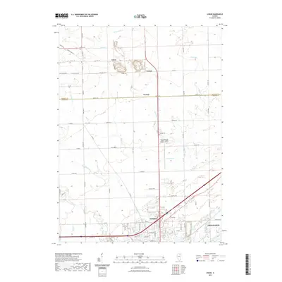
2021 Map of Lisbon
USGS Topo · Published 2021About this map
The boundary between Kendall Co and Grundy Co bisects this northern Illinois prairie landscape, where the agricultural grid meets the growing industrial and municipal infrastructure of the Illinois River valley. In the north, the small settlement of Lisbon is surrounded by historic markers of early residency, including Lisbon Cem and Munger Cem. The terrain is defined by a network of drainage ways like W Aux Sable Cr and Valley Run, which carved the gentle topography long before the modern expansion of Morris in the south.
Find a feature on this map
69 named features on this map. Tap any name to fly to it.
Don’t see what you’re looking for? This feature index may not catch every label — zoom into the map to look around manually.
Map Details
Editions of this 2021 Lisbon Map
This is the sole edition of this map. No revisions or reprints were ever made.
Other maps of this area

1892 · Morris
USGS Topo · 1:62,500

1892 · Marseilles
USGS Topo · 1:62,500

1916 · Marseilles
USGS Topo · 1:62,500

1918 · Morris
USGS Topo · 1:62,500

1925 · Yorkville
USGS Topo · 1:62,500

1940 · Marseilles
USGS Topo · 1:62,500

1948 · Sandwich
USGS Topo · 1:62,500

1950 · Sandwich
USGS Topo · 1:62,500

1953 · Morris
USGS Topo · 1:24,000

1953 · Plattville
USGS Topo · 1:24,000