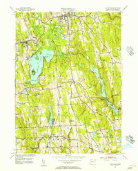
1956 Map of Litchfield
USGS Topo · Published 1957About this map
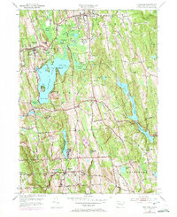
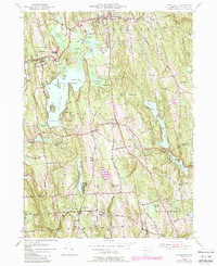
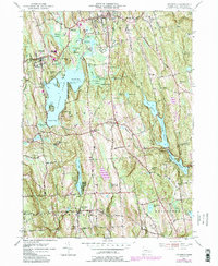
Bantam Lake dominates the central landscape of this Litchfield County survey, serving as a focal point for the surrounding towns of Litchfield, Morris, and Bethlehem. The mid-century mapping reveals a mix of concentrated village centers and expanding institutional footprints, notably seen at the Wamogo High Sch and the expansive Camp Columbia near Lakeside. The water infrastructure of the era is remarkably detailed, tracing the flow from the Bantam River into a network of reservoirs including Pitch Reservoir, Morris Reservoir, and Wigwam Reservoir, which reflect the region's historical role in managing water resources for growing Connecticut populations. For genealogists, the map provides precise locations for local burying grounds such as West Cem and Bethlehem Cem, alongside vanished or small settlements like Grappaville.
Find a feature on this map
68 named features on this map. Tap any name to fly to it.
Don’t see what you’re looking for? This feature index may not catch every label — zoom into the map to look around manually.
Map Details
Editions of this 1956 Litchfield Map
7 editions found
Other maps of this area

1892 · Winsted
USGS Topo · 1:62,500

1892 · Cornwall
USGS Topo · 1:62,500

1892 · New Milford
USGS Topo · 1:62,500

1893 · Waterbury
USGS Topo · 1:62,500

1893 · New Milford
USGS Topo · 1:62,500

1893 · Cornwall
USGS Topo · 1:62,500

1903 · Cornwall
USGS Topo · 1:62,500

1904 · New Milford
USGS Topo · 1:62,500

1904 · Waterbury
USGS Topo · 1:62,500

1904 · Litchfield
USGS Topo · 1:125,000