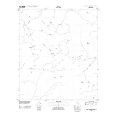
2010 Map of Little Aguja Mountain
USGS Topo · Published 2010About this map
Little Aguja Mountain anchors this high-elevation landscape in Jeff Davis County, where a network of canyons and springs defines the rugged terrain of West Texas. Modern recreation and legacy ranching infrastructure coexist here, marked by the Buffalo Trail Scout Camp and the Madera Springs Lodge. The map documents a complex hydrography essential for life in this arid climate, featuring named water sources such as Dark Canyon Spring, Orchard Spring, and the unique Airplane Tank Spring.
Find a feature on this map
47 named features on this map. Tap any name to fly to it.
Don’t see what you’re looking for? This feature index may not catch every label — zoom into the map to look around manually.
Map Details
Editions of this 2010 Little Aguja Mountain Map
This is the sole edition of this map. No revisions or reprints were ever made.
Other maps of this area

1894 · Valentine
USGS Topo · 1:125,000

1894 · Fort Davis
USGS Topo · 1:125,000

1897 · Valentine
USGS Topo · 1:125,000

1897 · Fort Davis
USGS Topo · 1:125,000

1943 · Valentine
USGS Topo · 1:125,000

1954 · Fort Stockton
USGS Topo · 1:250,000

1958 · Fort Stockton
USGS Topo · 1:250,000

1959 · Marfa
USGS Topo · 1:250,000

1965 · Marfa
USGS Topo · 1:250,000

1972 · Casket Mountain
USGS Topo · 1:24,000