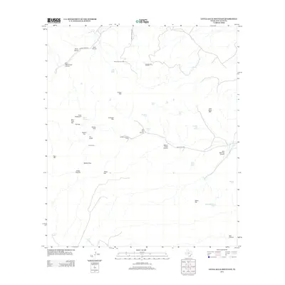
2012 Map of Little Aguja Mountain
USGS Topo · Published 2012About this map
Madera Springs Lodge sits at the northern edge of this high-altitude Texas landscape, where the canyons and peaks of Jeff Davis County are defined by their relationship to scarce water and livestock ranching. The presence of The Pole Pens and various "tanks" like Laguna Tank and Big Bear Tank point to the area's history of cattle management in difficult terrain. Dramatic geological features are identified throughout the quadrangle, ranging from the prominent Balance Rock and Needle Rock to the distinct summits of Timber Mtn and Forbidden Mtn.
Find a feature on this map
41 named features on this map. Tap any name to fly to it.
Don’t see what you’re looking for? This feature index may not catch every label — zoom into the map to look around manually.
Map Details
Editions of this 2012 Little Aguja Mountain Map
This is the sole edition of this map. No revisions or reprints were ever made.
Other maps of this area

1894 · Valentine
USGS Topo · 1:125,000

1894 · Fort Davis
USGS Topo · 1:125,000

1897 · Valentine
USGS Topo · 1:125,000

1897 · Fort Davis
USGS Topo · 1:125,000

1943 · Valentine
USGS Topo · 1:125,000

1954 · Fort Stockton
USGS Topo · 1:250,000

1958 · Fort Stockton
USGS Topo · 1:250,000

1959 · Marfa
USGS Topo · 1:250,000

1965 · Marfa
USGS Topo · 1:250,000

1972 · Casket Mountain
USGS Topo · 1:24,000