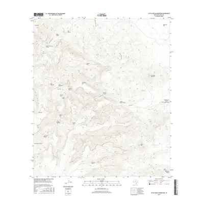
2016 Map of Little Aguja Mountain
USGS Topo · Published 2016About this map
Little Aguja Mountain anchors this high-elevation landscape in Jeff Davis County, where complex drainage patterns and dramatic peaks define the terrain. The presence of cattle-ranching and survival infrastructure is evident through numerous water features such as Million Dollar Canyon, Laguna Tank, and Airplane Tank Spring. Named landmarks like Ezras Bedground and Rustlers Flat suggest a history of livestock movement and local lore, while distinctive geological formations are highlighted by Needle Rock, Balance Rock, and the Eye of the Needle. Access to these remote elevations is traced by Ranch Rd 1832 and Madera Canyon Rd, leading toward secluded spots like Trickey Gap Park and the high flats of Augustine Flat.
Find a feature on this map
44 named features on this map. Tap any name to fly to it.
Don’t see what you’re looking for? This feature index may not catch every label — zoom into the map to look around manually.
Map Details
Editions of this 2016 Little Aguja Mountain Map
This is the sole edition of this map. No revisions or reprints were ever made.
Other maps of this area

1894 · Valentine
USGS Topo · 1:125,000

1894 · Fort Davis
USGS Topo · 1:125,000

1897 · Valentine
USGS Topo · 1:125,000

1897 · Fort Davis
USGS Topo · 1:125,000

1943 · Valentine
USGS Topo · 1:125,000

1954 · Fort Stockton
USGS Topo · 1:250,000

1958 · Fort Stockton
USGS Topo · 1:250,000

1959 · Marfa
USGS Topo · 1:250,000

1965 · Marfa
USGS Topo · 1:250,000

1972 · Casket Mountain
USGS Topo · 1:24,000