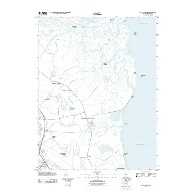
2011 Map of Little Creek
USGS Topo · Published 2011About this map
Little Creek sits at the heart of this coastal landscape, where the tidal marshes of the Delaware Bay meet the agricultural fields of Kent County. The area is defined by an intricate network of waterways, including the Leipsic River, Simons River, and Little River, which carve through a mosaic of named islands such as Kent Island and Kelly Island. This map documents a region where maritime tradition and colonial history persist, evidenced by the presence of the Friends Meetinghouse Cemetery and the navigational aids at Port Mahon, including the Little River Range Lights.
Find a feature on this map
76 named features on this map. Tap any name to fly to it.
Don’t see what you’re looking for? This feature index may not catch every label — zoom into the map to look around manually.
Map Details
Editions of this 2011 Little Creek Map
This is the sole edition of this map. No revisions or reprints were ever made.
Other maps of this area

1890 · Bay Side
USGS Topo · 1:62,500

1894 · Bay Side
USGS Topo · 1:62,500

1899 · Vineland
USGS Topo · 1:125,000

1899 · Dover
USGS Topo · 1:125,000

1906 · Dover
USGS Topo · 1:125,000

1919 · Vineland
USGS Topo · 1:125,000

1920 · Dover
USGS Topo · 1:125,000

1926 · Wyoming
USGS Topo · 1:48,000

1930 · Wyoming
USGS Topo · 1:62,500

1931 · Wyoming
USGS Topo · 1:62,500