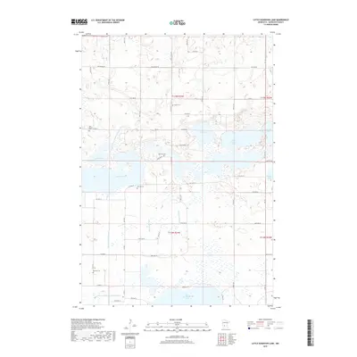
2019 Map of Little Kandiyohi Lake
USGS Topo · Published 2019About this map
Big Kandiyohi Lake and its surrounding wetlands define the landscape of this Kandiyohi County region. The terrain is characterized by a high concentration of glacial lakes, including Little Kandiyohi Lake, Lake Wakanda, and Swan Lake, many of which are interconnected by artificial and natural waterways such as the Big Kandiyohi Channel and County Ditch Number Twentythree A. This network of ditches and channels, including County Ditch Number Sixtyfour, reflects the historical efforts to manage water levels for agricultural use in the fertile Minnesota prairie.
Find a feature on this map
39 named features on this map. Tap any name to fly to it.
Don’t see what you’re looking for? This feature index may not catch every label — zoom into the map to look around manually.
Map Details
Editions of this 2019 Little Kandiyohi Lake Map
This is the sole edition of this map. No revisions or reprints were ever made.
Other maps of this area

1953 · New Ulm
USGS Topo · 1:250,000

1953 · Saint Cloud
USGS Topo · 1:250,000

1956 · Atwater
USGS Topo · 1:62,500

1957 · Saint Cloud
USGS Topo · 1:250,000

1957 · New Ulm
USGS Topo · 1:250,000

1957 · Olivia
USGS Topo · 1:62,500

1958 · New Ulm
USGS Topo · 1:250,000

1958 · Saint Cloud
USGS Topo · 1:250,000

1958 · Willmar
USGS Topo · 1:24,000

1958 · Solomon Lake
USGS Topo · 1:24,000