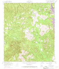
1954 Map of Little Sandy Creek
USGS Topo · Published 1968About this map
Little Sandy Creek and its many tributaries, including Pearl Creek and Caney Creek, define the topography of this Vernon Parish landscape during the mid-20th century. The area is characterized by a network of rural congregations and burial sites that served the local community, such as Good Hope Church, New Hope Church, and Beech Grove Church. A notable Dismantled railroad corridor cuts through the northern sections, signaling a shift away from earlier industrial or logging transport patterns that once relied on this infrastructure.
Find a feature on this map
18 named features on this map. Tap any name to fly to it.
Don’t see what you’re looking for? This feature index may not catch every label — zoom into the map to look around manually.
Map Details
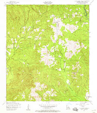
Editions of this 1954 Little Sandy Creek Map
2 editions found
Other maps of this area

1941 · Leesville
USGS Topo · 1:62,500

1942 · Florien
USGS Topo · 1:62,500

1943 · Leesville
USGS Topo · 1:62,500

1944 · Negreet
USGS Topo · 1:62,500

1944 · Wiergate
USGS Topo · 1:62,500

1944 · Florien
USGS Topo · 1:62,500

1946 · Leesville
USGS Topo · 1:62,500

1948 · Leesville
USGS Topo · 1:62,500

1948 · Wiergate
USGS Topo · 1:62,500

1953 · Alexandria
USGS Topo · 1:250,000