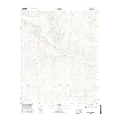
2016 Map of Little Wolf Creek
USGS Topo · Published 2016About this map
Needwood Cem stands as a quiet focal point in the lower half of this landscape, situated near the intersection of FM 1439 and Co RD 270. The terrain is defined by a dense network of drainage systems, most notably Elm Creek and Little Wolf Creek, which carve through the high plains. A unique geological feature, the Natural Bridge, is documented north of Elm Creek, marking a distinct landmark in an area otherwise characterized by intermittent watercourses like Lost Creek and Wagon Creek. The road system follows a traditional section-line grid, typical of the Oklahoma-Texas borderlands, connecting family farms and rural properties via routes such as Co RD L and Co RD 190. This map provides genealogists a precise look at the rural infrastructure and land features in the early twenty-first century.
Find a feature on this map
20 named features on this map. Tap any name to fly to it.
Don’t see what you’re looking for? This feature index may not catch every label — zoom into the map to look around manually.
Map Details
Editions of this 2016 Little Wolf Creek Map
This is the sole edition of this map. No revisions or reprints were ever made.
Other maps of this area

1954 · Amarillo
USGS Topo · 1:250,000

1954 · Plainview
USGS Topo · 1:250,000

1955 · Lawton
USGS Topo · 1:250,000

1955 · Clinton
USGS Topo · 1:250,000

1957 · Clinton
USGS Topo · 1:250,000

1958 · Amarillo
USGS Topo · 1:250,000

1958 · Plainview
USGS Topo · 1:250,000

1959 · Wellington NW
USGS Topo · 1:24,000

1959 · Shinnery Creek
USGS Topo · 1:24,000

1961 · Erick
USGS Topo · 1:62,500