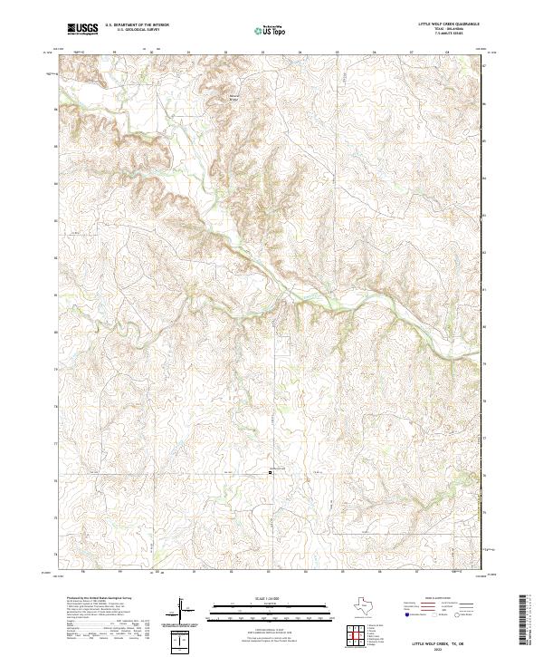
2022 Map of Little Wolf Creek
USGS Topo · Published 2022About this map
Needwood Cem sits at the intersection of Co RD 270 and Co RD j4, serving as a primary point of historical interest in this rural Panhandle landscape. The area is defined by an intricate network of drainage systems, where Elm Creek and its many tributaries, including Crow Cr and Lost Cr, cut through the terrain. A notable geological landmark, the Natural Bridge, is located in the northern portion of the quadrangle near the upper reaches of Elm Cr.
Find a feature on this map
23 named features on this map. Tap any name to fly to it.
Don’t see what you’re looking for? This feature index may not catch every label — zoom into the map to look around manually.
Map Details
Editions of this 2022 Little Wolf Creek Map
This is the sole edition of this map. No revisions or reprints were ever made.
Other maps of this area

1954 · Amarillo
USGS Topo · 1:250,000

1954 · Plainview
USGS Topo · 1:250,000

1955 · Lawton
USGS Topo · 1:250,000

1955 · Clinton
USGS Topo · 1:250,000

1957 · Clinton
USGS Topo · 1:250,000

1958 · Amarillo
USGS Topo · 1:250,000

1958 · Plainview
USGS Topo · 1:250,000

1959 · Wellington NW
USGS Topo · 1:24,000

1959 · Shinnery Creek
USGS Topo · 1:24,000

1961 · Erick
USGS Topo · 1:62,500