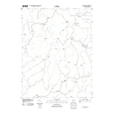
2011 Map of Littleton
USGS Topo · Published 2011About this map
West Virginia Fork Fish Creek and its many winding tributaries dictate the shape of life in this borderland between Wetzel County and Pennsylvania. Small crossroads settlements like Endicott, Anthem, and Bannen are connected by a network of ridge-top and valley roads, such as Postle Rdg and Conaway Rdg, reflecting a landscape where terrain traditionally determined travel. The map identifies numerous family and community burial grounds, including the Meadowdale Cemetery and Anderson Bethel Cemetery, which are vital markers for genealogical research in this region.
Find a feature on this map
108 named features on this map. Tap any name to fly to it.
Don’t see what you’re looking for? This feature index may not catch every label — zoom into the map to look around manually.
Map Details
Editions of this 2011 Littleton Map
This is the sole edition of this map. No revisions or reprints were ever made.
Other maps of this area

1903 · Littleton
USGS Topo · 1:62,500

1904 · Cameron
USGS Topo · 1:62,500

1905 · Mannington
USGS Topo · 1:62,500

1905 · Rogersville
USGS Topo · 1:62,500

1905 · Littleton
USGS Topo · 1:62,500

1923 · Mannington
USGS Topo · 1:62,500

1924 · Littleton
USGS Topo · 1:62,500

1926 · Littleton
USGS Topo · 1:62,500

1926 · Mannington
USGS Topo · 1:62,500

1935 · Cameron
USGS Topo · 1:62,500