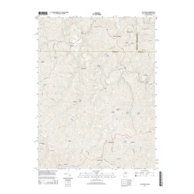
2014 Map of Littleton
USGS Topo · Published 2014About this map
Littleton serves as the focal point for this survey of the borderlands between West Virginia and Pennsylvania. The influence of the B & O Railroad Rd is evident through the presence of engineering landmarks like the Board Tree Tunnel and Littleton Tunnel, which facilitated transport through the ridged terrain. Small mountain communities and hamlets such as Uniontown, Endicott, and Knob Fork are scattered across a landscape defined by significant elevation changes, including Denver Heights and Postlethwaite Ridge.
Find a feature on this map
109 named features on this map. Tap any name to fly to it.
Don’t see what you’re looking for? This feature index may not catch every label — zoom into the map to look around manually.
Map Details
Editions of this 2014 Littleton Map
This is the sole edition of this map. No revisions or reprints were ever made.
Other maps of this area

1903 · Littleton
USGS Topo · 1:62,500

1904 · Cameron
USGS Topo · 1:62,500

1905 · Mannington
USGS Topo · 1:62,500

1905 · Rogersville
USGS Topo · 1:62,500

1905 · Littleton
USGS Topo · 1:62,500

1923 · Mannington
USGS Topo · 1:62,500

1924 · Littleton
USGS Topo · 1:62,500

1926 · Littleton
USGS Topo · 1:62,500

1926 · Mannington
USGS Topo · 1:62,500

1935 · Cameron
USGS Topo · 1:62,500