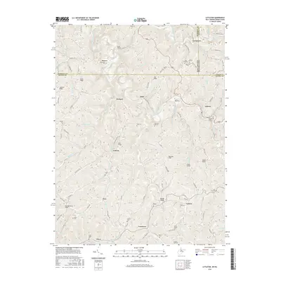
2016 Map of Littleton
USGS Topo · Published 2016About this map
Littleton and the surrounding highlands of the West Virginia-Pennsylvania borderlands are defined by the winding waters of the West Virginia Fork Fish Creek and Pennsylvania Fork Fish Creek. This rugged territory, shared by Wetzel and Marshall counties in West Virginia and Greene Co in Pennsylvania, is marked by significant engineering landmarks including the Board Tree Tunnel and Martin Tunnel. The settlement pattern follows narrow hollows and high ridges, with small communities like Endicott, Anthem, and Knob Fork serving as local anchors.
Find a feature on this map
104 named features on this map. Tap any name to fly to it.
Don’t see what you’re looking for? This feature index may not catch every label — zoom into the map to look around manually.
Map Details
Editions of this 2016 Littleton Map
This is the sole edition of this map. No revisions or reprints were ever made.
Other maps of this area

1903 · Littleton
USGS Topo · 1:62,500

1904 · Cameron
USGS Topo · 1:62,500

1905 · Mannington
USGS Topo · 1:62,500

1905 · Rogersville
USGS Topo · 1:62,500

1905 · Littleton
USGS Topo · 1:62,500

1923 · Mannington
USGS Topo · 1:62,500

1924 · Littleton
USGS Topo · 1:62,500

1926 · Littleton
USGS Topo · 1:62,500

1926 · Mannington
USGS Topo · 1:62,500

1935 · Cameron
USGS Topo · 1:62,500