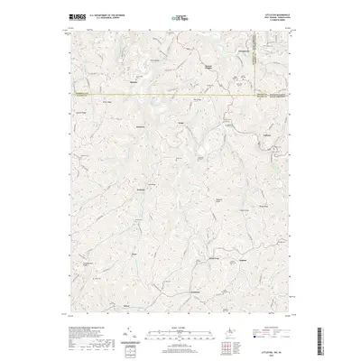
2019 Map of Littleton
USGS Topo · Published 2019About this map
Littleton and the surrounding borderlands of West Virginia and Pennsylvania are defined by the intricate winding waters of the West Virginia Fork Fish Creek and its many tributaries. This 2019 survey documents a landscape of high ridges and narrow hollows, where small settlements like Endicott, Anthem, and Uniontown are linked by secondary roads that follow the natural contours of the land. The topography is dotted with a significant number of family and community burial grounds, including the Carney Cemeteries, Strosnider Hill Cem, and McCabe Cem, suggesting a long history of local lineage in these hills. Engineering history is also present through rail infrastructure like the Board Tree Tunnel and Martin Tunnel, while modern recreational use is reflected in the WMA Access Trail systems crossing the northern ridges near Denver Heights.
Find a feature on this map
74 named features on this map. Tap any name to fly to it.
Don’t see what you’re looking for? This feature index may not catch every label — zoom into the map to look around manually.
Map Details
Editions of this 2019 Littleton Map
This is the sole edition of this map. No revisions or reprints were ever made.
Other maps of this area

1903 · Littleton
USGS Topo · 1:62,500

1904 · Cameron
USGS Topo · 1:62,500

1905 · Mannington
USGS Topo · 1:62,500

1905 · Rogersville
USGS Topo · 1:62,500

1905 · Littleton
USGS Topo · 1:62,500

1923 · Mannington
USGS Topo · 1:62,500

1924 · Littleton
USGS Topo · 1:62,500

1926 · Littleton
USGS Topo · 1:62,500

1926 · Mannington
USGS Topo · 1:62,500

1935 · Cameron
USGS Topo · 1:62,500