
1952 Map of Livengood A-2
USGS Topo · Published 1972About this map
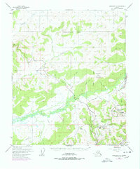
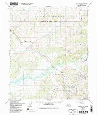
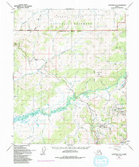
Gold mining infrastructure and the remnants of the Tanana Valley Railroad define this landscape within the Fairbanks-North Star Borough during the early 1950s. The Chatanika River serves as the central artery for the region, flanked by the sprawling engineering works of the Davidson Ditch and Beckman Ditch, which transported water for hydraulic mining operations. Settlement is concentrated in specialized mining outposts like Eldorado Camp, Pedro Camp, and Dome Camp, alongside the community of Olnes.
Find a feature on this map
56 named features on this map. Tap any name to fly to it.
Don’t see what you’re looking for? This feature index may not catch every label — zoom into the map to look around manually.
Map Details
Editions of this 1952 Livengood A-2 Map
4 editions found
Other maps of this area

1945 · Livengood
USGS Topo · 1:250,000

1949 · Fairbanks D-1
USGS Topo · 1:62,500

1949 · Fairbanks D-2
USGS Topo · 1:62,500

1949 · Fairbanks D-3
USGS Topo · 1:63,360

1950 · Fairbanks
USGS Topo · 1:250,000

1950 · Fairbanks D-3
USGS Topo · 1:63,360

1951 · Fairbanks
USGS Topo · 1:250,000

1951 · Livengood
USGS Topo · 1:250,000

1951 · Livengood B-2
USGS Topo · 1:63,360

1952 · Fairbanks D-2
USGS Topo · 1:63,360