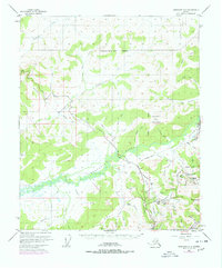
1952 Map of Livengood A-2
USGS Topo · Published 1978About this map
Chatanika River flows through a landscape defined by gold mining history and early Alaskan infrastructure in the mid-20th century. The settlement of Olnes serves as a focal point near the Old Railroad Grade, reflecting the importance of rail transport in the Fairbanks - North Star Borough. Numerous mining-related sites populate the hills, including Pedro Camp, Dome Camp, and Eldorado Camp, while the presence of Tailings near Steamboat Creek indicates the scale of historic earth-moving operations. Significant engineering works are visible, most notably the Davidson Ditch which cuts across the terrain to provide water for hydraulic mining. Later infrastructure is represented by the alignment of the Elliott Highway and the route of The Trans-Alaska Pipeline, marking the transition from the gold era to the modern resource economy near Pedro Dome.
Find a feature on this map
62 named features on this map. Tap any name to fly to it.
Don’t see what you’re looking for? This feature index may not catch every label — zoom into the map to look around manually.
Map Details
Editions of this 1952 Livengood A-2 Map
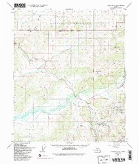
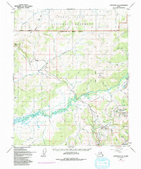
4 editions found

Other maps of this area

1945 · Livengood
USGS Topo · 1:250,000

1949 · Fairbanks D-1
USGS Topo · 1:62,500

1949 · Fairbanks D-2
USGS Topo · 1:62,500

1949 · Fairbanks D-3
USGS Topo · 1:63,360

1950 · Fairbanks
USGS Topo · 1:250,000

1950 · Fairbanks D-3
USGS Topo · 1:63,360

1951 · Fairbanks
USGS Topo · 1:250,000

1951 · Livengood
USGS Topo · 1:250,000

1951 · Livengood B-2
USGS Topo · 1:63,360

1952 · Fairbanks D-2
USGS Topo · 1:63,360