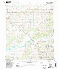
1952 Map of Livengood A-2
USGS Topo · Published 1992About this map
Pedro Dome and the surrounding gold-bearing creeks anchor this interior landscape during a period of significant infrastructure evolution. The map documents the legacy of early mining and rail transport alongside modern energy development, prominently featuring the Trans-Alaska Pipeline as it cuts across the terrain. Placer mining history is evident in the tailings along Pedro Creek and the various settlements established to support the industry, including Pedro Camp, Dome Camp, and Old Chatanika.
Find a feature on this map
69 named features on this map. Tap any name to fly to it.
Don’t see what you’re looking for? This feature index may not catch every label — zoom into the map to look around manually.
Map Details
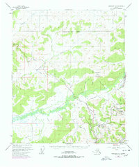
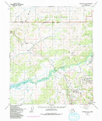
Editions of this 1952 Livengood A-2 Map
4 editions found

Other maps of this area

1945 · Livengood
USGS Topo · 1:250,000

1949 · Fairbanks D-1
USGS Topo · 1:62,500

1949 · Fairbanks D-2
USGS Topo · 1:62,500

1949 · Fairbanks D-3
USGS Topo · 1:63,360

1950 · Fairbanks
USGS Topo · 1:250,000

1950 · Fairbanks D-3
USGS Topo · 1:63,360

1951 · Fairbanks
USGS Topo · 1:250,000

1951 · Livengood
USGS Topo · 1:250,000

1951 · Livengood B-2
USGS Topo · 1:63,360

1952 · Fairbanks D-2
USGS Topo · 1:63,360