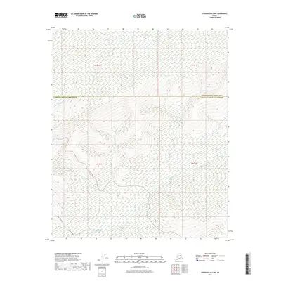
2017 Map of Livengood A-2 NW
USGS Topo · Published 2017About this map
The Alaska Pipeline and Elliott Highway traverse this interior landscape, marking a vital transportation and energy corridor through the northern wilderness. This 2017 survey captures the intersection of major infrastructure and numerous drainage systems that define the area's geography. Located along the boundary of the Fairbanks North Star Borough and Yukon-Koyukuk Census Area, the terrain is heavily influenced by the winding paths of Wickersham Cr and Washington Cr.
Find a feature on this map
13 named features on this map. Tap any name to fly to it.
Don’t see what you’re looking for? This feature index may not catch every label — zoom into the map to look around manually.
Map Details
Editions of this 2017 Livengood A-2 NW Map
This is the sole edition of this map. No revisions or reprints were ever made.
Other maps of this area

1945 · Livengood
USGS Topo · 1:250,000

1951 · Livengood
USGS Topo · 1:250,000

1951 · Livengood B-2
USGS Topo · 1:63,360

1952 · Livengood A-2
USGS Topo · 1:63,360

1953 · Livengood A-3
USGS Topo · 1:63,360

1954 · Livengood B-3
USGS Topo · 1:63,360
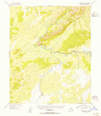
1954 · Livengood B-2
USGS Topo · 1:63,360
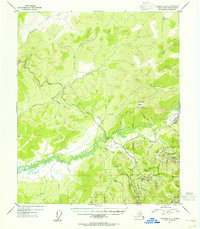
1954 · Livengood A-2
USGS Topo · 1:63,360

1956 · Livengood
USGS Topo · 1:250,000

1964 · Livengood
USGS Topo · 1:250,000