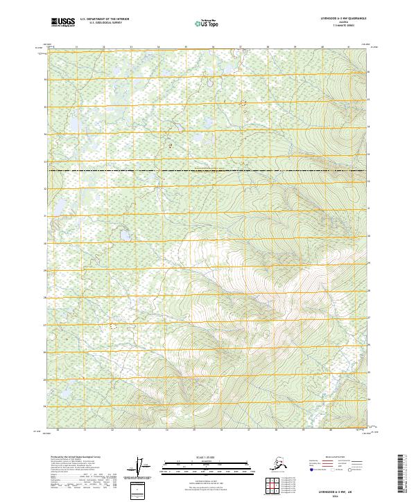
2024 Map of Livengood A-3 NW
USGS Topo · Published 2024About this map
The Tatalina River winds through the northern interior of Alaska, defining a landscape marked by its transition across the Yukon-Koyukuk Census Area and Fairbanks North Star Borough boundary. This 2024 survey captures a remote subarctic environment where drainage systems like Twin Creek and Aggie Creek carve through the high-elevation terrain of the interior. The topographic detail illustrates the complex hydrology typical of this region, showing the seasonal flow patterns that shape the valleys. With no roads or established settlements printed on the sheet, the map emphasizes the wilderness character of the territory north of Fairbanks, making it a critical reference for understanding the natural geography and jurisdictional divisions of the Alaskan bush during the early 21st century.
Find a feature on this map
9 named features on this map. Tap any name to fly to it.
Don’t see what you’re looking for? This feature index may not catch every label — zoom into the map to look around manually.
Map Details
Editions of this 2024 Livengood A-3 NW Map
This is the sole edition of this map. No revisions or reprints were ever made.
Other maps of this area

1945 · Livengood
USGS Topo · 1:250,000

1951 · Livengood
USGS Topo · 1:250,000

1951 · Livengood A-4
USGS Topo · 1:63,360

1953 · Livengood B-4
USGS Topo · 1:63,360

1953 · Livengood A-4
USGS Topo · 1:63,360

1953 · Livengood A-3
USGS Topo · 1:63,360

1954 · Livengood B-3
USGS Topo · 1:63,360

1956 · Livengood
USGS Topo · 1:250,000

1964 · Livengood
USGS Topo · 1:250,000
2017 · Livengood A-3 NE
USGS Topo · 1:25,000