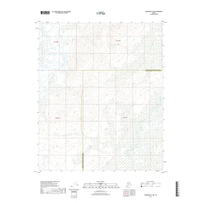
2017 Map of Livengood A-4 NE
USGS Topo · Published 2017About this map
The Tolovana River meanders through the northwest corner of this Interior Alaska landscape, where the vast drainage system meets the northern limits of the Fairbanks North Star Borough. This territory, situated at the boundary of the Yukon-Koyukuk Census Area, is defined by the complex hydrography of the Tatalina River and its tributary, Tatalina Cr. The map reveals a transition from low-lying wetland basins to the rising elevations of the surrounding hills, illustrating the natural watercourses that have historically dictated travel and subsistence patterns in the region. The absence of roads or established settlements emphasizes the remote, undeveloped character of these township blocks, where only the township and range lines of t5n r6w and t5n r5w provide a human-imposed grid over the winding river valleys.
Find a feature on this map
8 named features on this map. Tap any name to fly to it.
Don’t see what you’re looking for? This feature index may not catch every label — zoom into the map to look around manually.
Map Details
Editions of this 2017 Livengood A-4 NE Map
This is the sole edition of this map. No revisions or reprints were ever made.
Other maps of this area

1945 · Livengood
USGS Topo · 1:250,000

1951 · Livengood
USGS Topo · 1:250,000

1951 · Livengood A-4
USGS Topo · 1:63,360

1953 · Livengood B-4
USGS Topo · 1:63,360

1953 · Livengood A-4
USGS Topo · 1:63,360

1953 · Livengood A-3
USGS Topo · 1:63,360

1954 · Livengood B-3
USGS Topo · 1:63,360

1956 · Livengood
USGS Topo · 1:250,000

1964 · Livengood
USGS Topo · 1:250,000
2017 · Livengood B-4 SW
USGS Topo · 1:25,000