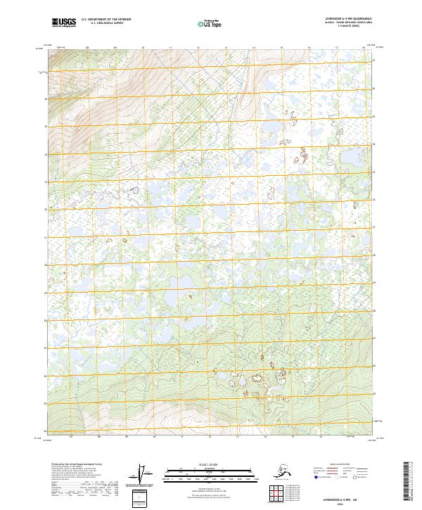
2024 Map of Livengood A-4 NW
USGS Topo · Published 2024About this map
Tolovana River meanders extensively through this section of the interior, creating a complex network of oxbows and marshlands. The landscape is defined by its low-lying drainage patterns, particularly within the boundaries of t4n r7w and t4n r6w. Topographical relief is most prominent in the northwest and southwest corners, where the terrain rises above the saturated river valley. The density of wetlands throughout the central sections of the quadrangle suggests a highly seasonal environment where water dictates the movement across the land. This map provides a technical view of the Public Land Survey System (PLSS) divisions, including t5n r7w and t5n r6w, amidst a largely uninhabited wilderness area.
Find a feature on this map
5 named features on this map. Tap any name to fly to it.
Don’t see what you’re looking for? This feature index may not catch every label — zoom into the map to look around manually.
Map Details
Editions of this 2024 Livengood A-4 NW Map
This is the sole edition of this map. No revisions or reprints were ever made.
Other maps of this area

1945 · Livengood
USGS Topo · 1:250,000

1951 · Livengood
USGS Topo · 1:250,000

1951 · Livengood A-5
USGS Topo · 1:63,360

1951 · Livengood A-4
USGS Topo · 1:63,360

1952 · Livengood B-5
USGS Topo · 1:63,360

1953 · Livengood B-4
USGS Topo · 1:63,360

1953 · Livengood A-4
USGS Topo · 1:63,360
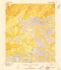
1954 · Livengood A-5
USGS Topo · 1:63,360

1956 · Livengood
USGS Topo · 1:250,000

1964 · Livengood
USGS Topo · 1:250,000