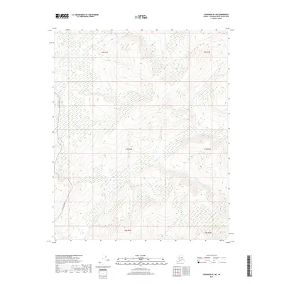
2017 Map of Livengood B-3 NE
USGS Topo · Published 2017About this map
The Elliott Highway cuts a solitary path through the interior Alaskan wilderness on this 2017 survey, serving as the primary artery for travel through the Yukon-Koyukuk region. The landscape is defined by the winding courses of the Tatalina River and the Tolovana River, which dominate the drainage patterns of this high-latitude terrain. Smaller tributaries like Dominion Cr and Bridge Cr feed into these larger river systems, illustrating the complex hydrology of the Unorganized Borough. This map highlights the intersection of modern infrastructure with a vast, undeveloped environment, where the highway provides essential access across a network of creeks including O'Brien Cr. The survey reflects the remote character of Alaska's interior, where geographic features are the primary landmarks for navigation and land management.
Find a feature on this map
12 named features on this map. Tap any name to fly to it.
Don’t see what you’re looking for? This feature index may not catch every label — zoom into the map to look around manually.
Map Details
Editions of this 2017 Livengood B-3 NE Map
This is the sole edition of this map. No revisions or reprints were ever made.
Other maps of this area

1945 · Livengood
USGS Topo · 1:250,000

1951 · Livengood
USGS Topo · 1:250,000

1951 · Livengood C-2
USGS Topo · 1:63,360

1951 · Livengood B-2
USGS Topo · 1:63,360

1954 · Livengood C-2
USGS Topo · 1:63,360

1954 · Livengood B-3
USGS Topo · 1:63,360
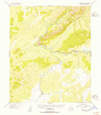
1954 · Livengood B-2
USGS Topo · 1:63,360
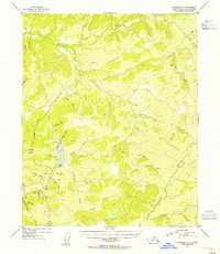
1954 · Livengood C-3
USGS Topo · 1:63,360

1956 · Livengood
USGS Topo · 1:250,000

1964 · Livengood
USGS Topo · 1:250,000