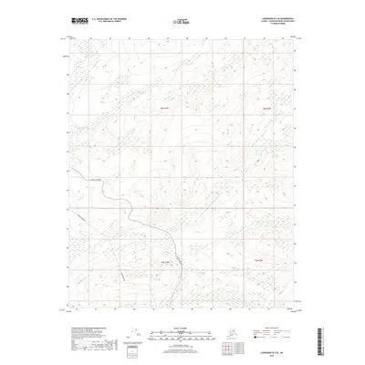
2017 Map of Livengood B-3 SE
USGS Topo · Published 2017About this map
The Alaska Pipeline and the Elliott Highway cross this interior Alaskan landscape, following the ridgelines and valley floors within the Yukon-Koyukuk Census Area. This 2017 survey highlights the corridor where modern infrastructure meets the subarctic wilderness. The terrain is defined by the winding course of the Tatalina River and its upland tributaries, such as Globe Cr and O'Brien Cr. These watercourses carve through the topography, creating a network of drainage basins that have long dictated the path of travel and resource transport in the region. The map provides a precise look at how the man-made industrial artery of the pipeline is positioned relative to the natural contours and the existing highway system that connects these remote northern territories.
Find a feature on this map
9 named features on this map. Tap any name to fly to it.
Don’t see what you’re looking for? This feature index may not catch every label — zoom into the map to look around manually.
Map Details
Editions of this 2017 Livengood B-3 SE Map
This is the sole edition of this map. No revisions or reprints were ever made.
Other maps of this area

1945 · Livengood
USGS Topo · 1:250,000

1951 · Livengood
USGS Topo · 1:250,000

1951 · Livengood B-2
USGS Topo · 1:63,360

1952 · Livengood A-2
USGS Topo · 1:63,360

1953 · Livengood A-3
USGS Topo · 1:63,360

1954 · Livengood B-3
USGS Topo · 1:63,360
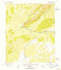
1954 · Livengood B-2
USGS Topo · 1:63,360
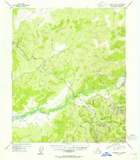
1954 · Livengood A-2
USGS Topo · 1:63,360

1956 · Livengood
USGS Topo · 1:250,000

1964 · Livengood
USGS Topo · 1:250,000