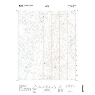
2017 Map of Livengood B-4 SE
USGS Topo · Published 2017About this map
Tolovana River meanders across a complex wetland landscape in this northern interior region of Alaska. The river system is joined by several tributaries, including Brooks Cr and Vigor Cr, which drain the elevated terrain found in the eastern half of the quadrangle. The map reveals a distinct environmental divide between the saturated, low-lying river valley in the west and the more defined ridges to the east, such as those drained by Slate Cr. This 2017 survey documents the precise hydrography of the region, where the intricate network of oxbows and marshlands indicates a dynamic and shifting river channel. For researchers and geographers, the map provides an exacting look at the hydrological patterns within the boundaries of t6n r6w and t6n r5w during the early 21st century.
Find a feature on this map
8 named features on this map. Tap any name to fly to it.
Don’t see what you’re looking for? This feature index may not catch every label — zoom into the map to look around manually.
Map Details
Editions of this 2017 Livengood B-4 SE Map
This is the sole edition of this map. No revisions or reprints were ever made.
Other maps of this area

1945 · Livengood
USGS Topo · 1:250,000

1951 · Livengood
USGS Topo · 1:250,000

1951 · Livengood A-4
USGS Topo · 1:63,360

1953 · Livengood B-4
USGS Topo · 1:63,360

1953 · Livengood A-4
USGS Topo · 1:63,360

1953 · Livengood A-3
USGS Topo · 1:63,360

1954 · Livengood B-3
USGS Topo · 1:63,360

1956 · Livengood
USGS Topo · 1:250,000

1964 · Livengood
USGS Topo · 1:250,000
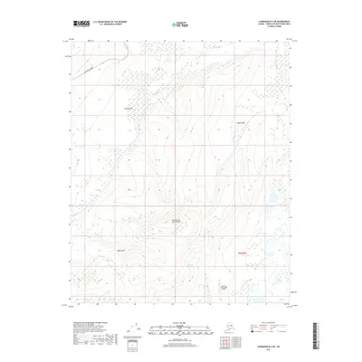
2017 · Livengood B-4 SW
USGS Topo · 1:25,000