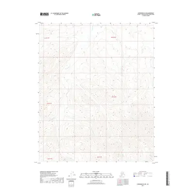
2017 Map of Livengood B-6 NE
USGS Topo · Published 2017About this map
Troublesome Cr and its numerous tributaries dominate this interior Alaskan drainage system within the Yukon-Koyukuk Census Area. The terrain is defined by a dense network of watercourses, including the descriptive Sluicebox Cr and Blizzard Cr, which suggest a landscape shaped by seasonal extremes and the history of regional exploration. The intricate contour lines reveal the complex ridgelines and valleys typical of the northern foothills, where drainages like Texas Cr and Union Cr carve through the land. This 2017 survey by the U.S. Geological Survey provides a precise view of the hydrology and elevation within several townships, including t7n r10w and t8n r10w. For those studying the remote geography of the Alaskan wilderness, the map offers a detailed look at the unnamed peaks and the primary stream paths that define this unorganized territory.
Find a feature on this map
15 named features on this map. Tap any name to fly to it.
Don’t see what you’re looking for? This feature index may not catch every label — zoom into the map to look around manually.
Map Details
Editions of this 2017 Livengood B-6 NE Map
This is the sole edition of this map. No revisions or reprints were ever made.
Other maps of this area

1945 · Livengood
USGS Topo · 1:250,000

1951 · Livengood
USGS Topo · 1:250,000

1952 · Livengood C-5
USGS Topo · 1:63,360

1952 · Livengood B-5
USGS Topo · 1:63,360

1956 · Livengood B-6
USGS Topo · 1:63,360

1956 · Livengood C-6
USGS Topo · 1:63,360

1956 · Livengood
USGS Topo · 1:250,000

1964 · Livengood
USGS Topo · 1:250,000
2017 · Livengood B-5 SW
USGS Topo · 1:25,000
2017 · Livengood C-6 SW
USGS Topo · 1:25,000