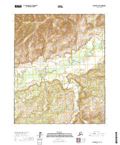
2017 Map of Livengood C-6 NE
USGS Topo · Published 2017About this map
Hess Creek flows across this interior landscape within the Alaska - Yukon-Koyukuk Census Area, defining the drainage patterns of this subarctic region. The terrain is characterized by complex hydrology and significant relief, where Lynx Creek and Rough Creek cut through the high ground. This topographic study, based on 2016 elevation data and imagery from 2009, highlights the absence of modern road infrastructure, indicating a wilderness area where natural watercourses serve as the primary geographic markers. The mapping of these drainages suggests a landscape primarily shaped by seasonal flow and permafrost-influenced landforms typical of the Yukon River basin's tributaries.
Find a feature on this map
4 named features on this map. Tap any name to fly to it.
Don’t see what you’re looking for? This feature index may not catch every label — zoom into the map to look around manually.
Map Details
Editions of this 2017 Livengood C-6 NE Map
This is the sole edition of this map. No revisions or reprints were ever made.
Other maps of this area

1945 · Livengood
USGS Topo · 1:250,000

1951 · Livengood
USGS Topo · 1:250,000

1952 · Livengood C-5
USGS Topo · 1:63,360

1952 · Livengood D-5
USGS Topo · 1:63,360

1956 · Livengood C-6
USGS Topo · 1:63,360

1956 · Livengood D-6
USGS Topo · 1:63,360

1956 · Livengood
USGS Topo · 1:250,000

1964 · Livengood
USGS Topo · 1:250,000
2017 · Livengood C-5 NW
USGS Topo · 1:25,000
2017 · Livengood C-6 SW
USGS Topo · 1:25,000