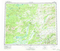
1956 Map of Livengood
USGS Topo · Published 1977About this map
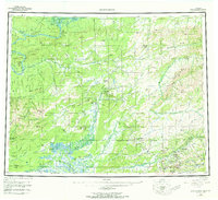
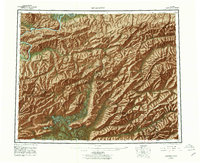
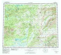
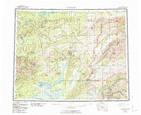
The Yukon River winds through the northern reaches of this interior Alaskan landscape, where the Fort Hamlin Hills and White Mountains define a terrain shaped by gold-seeking and remote settlement. Mining history is centered near Livengood and Money Knob, with a network of trails and tractor trails connecting isolated outposts like Old Eldorado and Minto (New). The southern portion of the sheet reveals the early development along the Steese Highway, serving established mining camps at Chatanika, Golden City, and Meehan. This 1950s survey, revised in the late 1970s, captures a transitional era of infrastructure, noting a pumping station and a Radio Tower amidst the older patterns of winter roads and the geothermal landmark of Tolovana Hot Springs Dome.
Find a feature on this map
92 named features on this map. Tap any name to fly to it.
Don’t see what you’re looking for? This feature index may not catch every label — zoom into the map to look around manually.
Map Details
Editions of this 1956 Livengood Map
9 editions found

Other maps of this area

1945 · Livengood
USGS Topo · 1:250,000

1948 · Kantishna River
USGS Topo · 1:250,000

1949 · Fairbanks D-1
USGS Topo · 1:62,500

1949 · Fairbanks D-2
USGS Topo · 1:62,500

1949 · Fairbanks D-3
USGS Topo · 1:63,360

1949 · Fairbanks D-4
USGS Topo · 1:63,360

1950 · Fairbanks
USGS Topo · 1:250,000

1950 · Big Delta
USGS Topo · 1:250,000

1950 · Big Delta D-6
USGS Topo · 1:63,360

1950 · Fairbanks D-5
USGS Topo · 1:63,360